
Lot
101
Lot 101
A very large George IV six section cloth map; Inland Navigat...
1/6


Hammer
£760
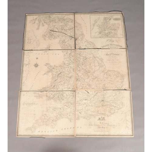
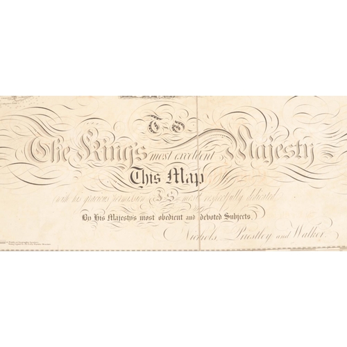
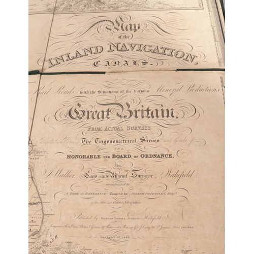
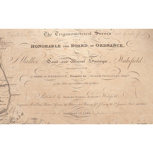
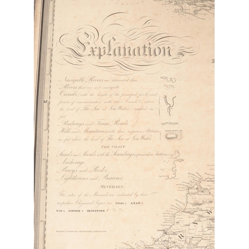
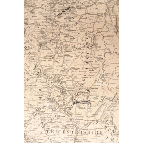
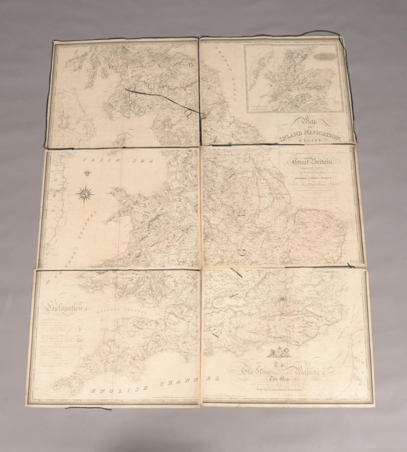
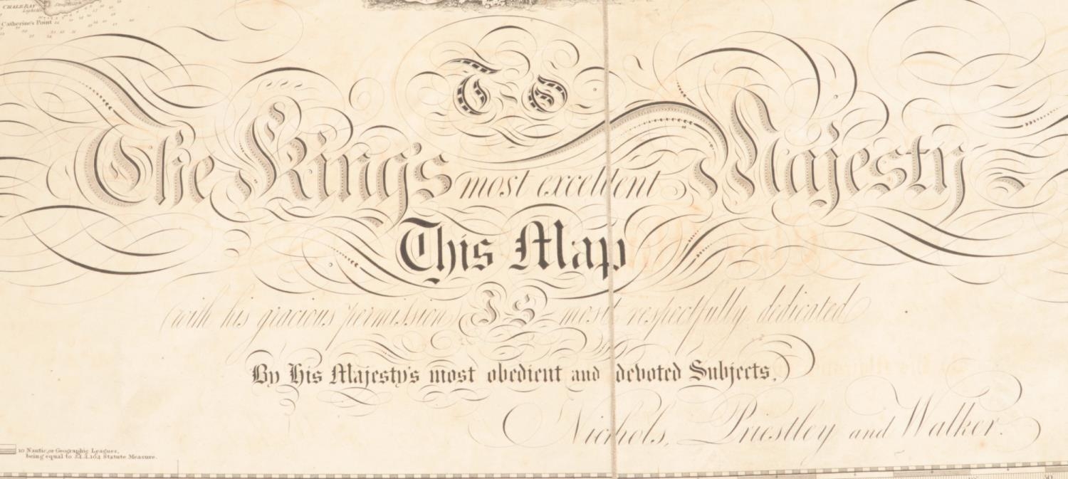
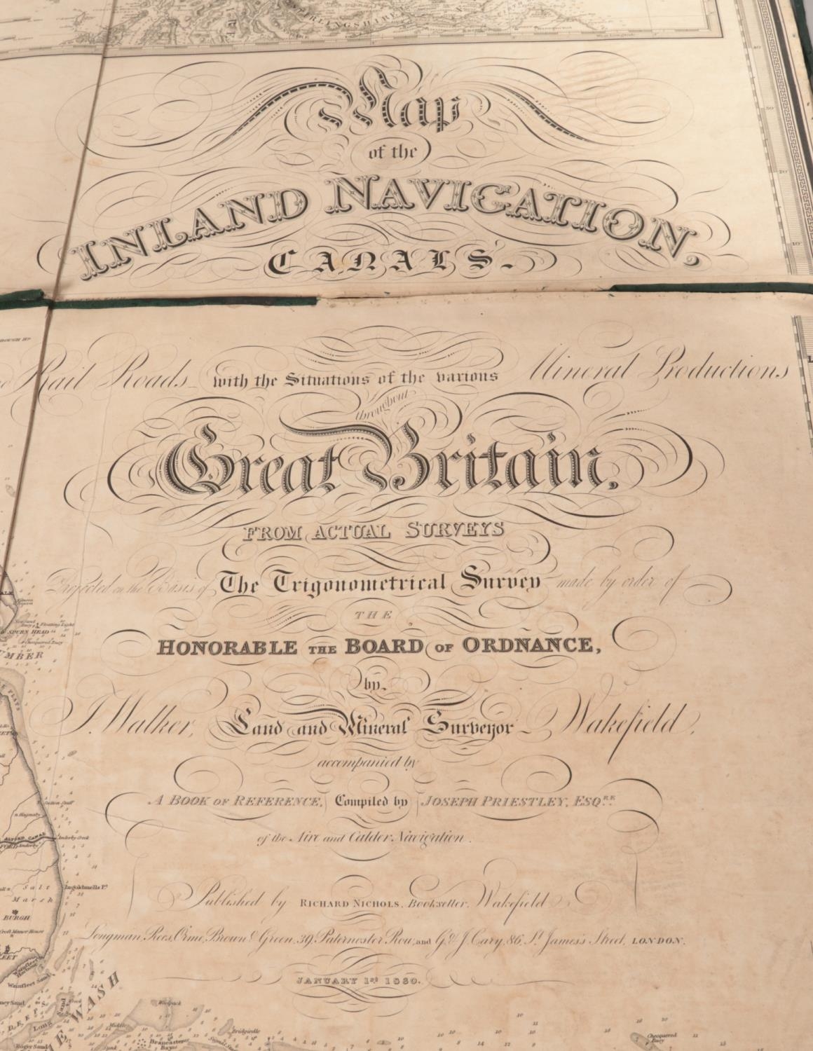
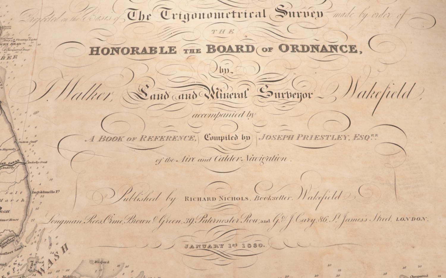
A very large George IV six section cloth map; Inland Navigation, Canals, and Rail Roads with the Situations of the various Mineral Productions throughout Great Britain. Nichols, Priestley & Walker. Dated January 1st 1830. 194cm x 158cm.
Closed
Auction Date:
2nd Sep 2024
at
10am
Fees apply to the hammer price:
Room and Absentee Bids:
24% inc VAT*
Online and Autobids:
27.6% inc VAT*
Please see the auctioneers terms & conditions for more information
Other Lots in this Auction

Sale Dates:
2nd Sep 2024 10am
(Lots 1 to 680)